On the way home yesterday, people were calling in to the local radio station, asking about all the smoke in the air. Initial reports were that it was a controlled burn, but later on people reported fire engines and water-carrying helicopters.
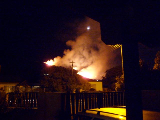
This was the view from our porch last night.

The fire came over the mountain and down to the firebreak, probably no more than 50m from the top row of houses. Fortunately there was absolutely no wind (well, just a breeze, carrying the smoke to the right as you can see).
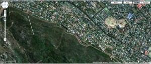
Here’s a Google Earth image of the area. We live over there, on the right, between the red roofs at the top and the circle on the right edge. The camera’s pointing just a touch south of west.
 Click to embiggen.
The white line is where I guess the fireline was.
Gratuitous moon shot.